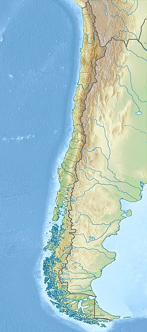
Чусміса
Зовнішній вигляд
| Чусміса | ||||
|
19°41′02″ пд. ш. 69°11′18″ зх. д. / 19.683927777778° пд. ш. 69.188280555556° зх. д. | ||||
| Країна | Чилі | |||
|---|---|---|---|---|
| Тип | Стратовулкан | |||
| Вік | Міоцен | |||
 | ||||
Комплекс Чусміса (ісп. Chusmiza, також відомий як Серрос-де-Сотока) — міоценовий вулкан у Чилі. Це найбільший стратовулкан міоцену в західній частині Андського уступу, об’ємом 400 км3. Складений переважно з андезиту [1]. Калій-аргонне датування встановило вік 11,3±0,3 млн років[2].
- ↑ Farías, Marcelo; Charrier, Reynaldo; Comte, Diana; Martinod, Joseph; Hérail, Gérard (August 2005). Late Cenozoic deformation and uplift of the western flank of the Altiplano: Evidence from the depositional, tectonic, and geomorphologic evolution and shallow seismic activity (northern Chile at 19°30′S). Tectonics. 24 (4): n/a. Bibcode:2005Tecto..24.4001F. doi:10.1029/2004TC001667.
- ↑ Wörner, Gerhard; Hammerschmidt, Konrad; Henjes-Kunst, Friedhelm; Lezaun, Judith; Wilke, Hans (December 2000). Geochronology (40Ar/39Ar, K-Ar and He-exposure ages) of Cenozoic magmatic rocks from Northern Chile (18-22°S): implications for magmatism and tectonic evolution of the central Andes. Revista Geológica de Chile. 27 (2). ISSN 0716-0208. Процитовано 1 жовтня 2015.

